Contents
Town House Lane
Location
1814 Inclosures Map
This lane is shown and named on the 1814 Inclosures Map (from which the extract below has been taken):
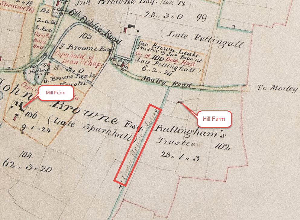
All rights reserved by Norfolk Record Office who hold the original; their ref is NRO C/Sca 2/86
Faden 1797
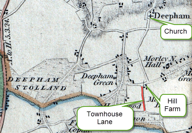
Although not named, Faden’s map published in 1797 shows a byway in the same location as the later map shown above. It runs from what is now the Morley Road, starting alongside Hill Farm.
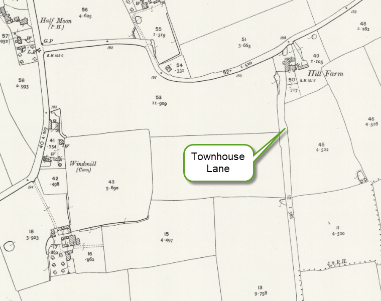
1892 O.S. Map
Lidar
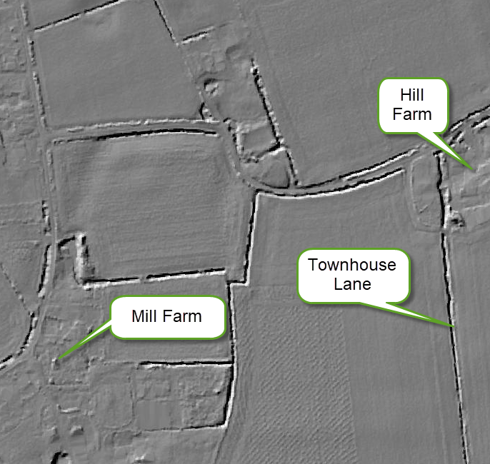
The Lidar maps were produced using laser technology which is able to give an image seeing through trees and other obstacles which are shown on aerial photographs. The following extract created in 2022 shows that the line of Townhouse Lane is still a feature of the landscape, albeit by virtue of a stream that ran alongside the lane:
Significance of the name
“Town House” here is almost certainly the parish poorhouse or “town house” where the overseers lodged paupers. Many Norfolk parishes called their poorhouse the “town house.” The lane leading to it naturally acquired that name.
Neighbouring Great Ellingham had almshouses which were referred to as the Town House – for more information, see here.
There is information on Deopham’s Town House here; the “towne howse” was described as being 32 feet long and 16 feet broad with a “dubble chymney”.
Snaylegate Lane
Also spelt Snaylgate Lane
The court rolls refer to Snaylegate Lane alias Town House Lane.” That means that the official or later-recognised name was Town House Lane, but the older/local name was Snaylegate (and all its various spellings).
When the Vikings arrived in the 800s, they brought with them a different language and left behind the inspiration for road names we still use today (Westlegate, Colegate, Cowgate, Finkelgate, Fishergate, Mountergate, Pottergate). The Scandinavian ‘gata’ was used in local dialect to mean ‘street’ or ‘lane’. 1
| Context | Year | Links and examples |
|---|---|---|
| … pasture in Hillfield by the King’s Highway called Hunsgreen from Deopham Towngreen to Morley Green, West, Abutts Snaylgate Lane, now called the Townhouse Lane, East; | 1689 | Court of the Manor of Deopham of the Dean & Chapter of Canterbury April 1689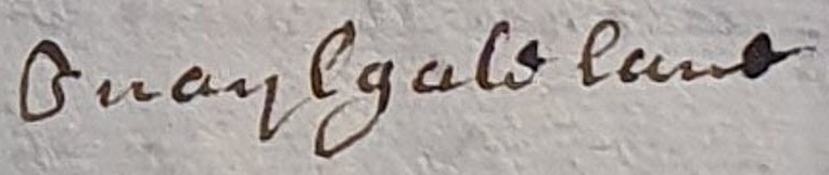 |
| A Messuage in Snaylegate Lane alias Townehouse Lane | 1691 | Court of the Manor of Deopham of the Dean & Chapter of Canterbury 1691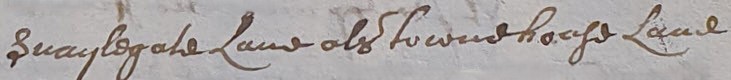 |
| … Pasture in Hill Field between Robert Waters, South; Kings Way, late called Hunsgreen, leading from Deopham Town Green to Morley Green, North; abutts upon Snalegate Lane now called the Town House Lane, East. and Scotts Pightle with a house built thereon, containing ½ acre in Deopham between lands late of Edward Sedley, South & North; Snalegate Lane alias Town House Lane, East. | 1808 | Court of the Manor of Deopham of the Dean & Chapter of Canterbury November 1808 |
Footnotes
- EDP 2/8/2022 ↩︎
Navigation
| Date | Change |
|---|---|
| 29/12/25 | Published |
